![]()
VACANT LAND SOLUTIONS
VICTOR VALLEY
MARYAM FARZAD, Lic. #: 01417813
DYNASTY REAL ESTATE
ph: 949-495-5335
fax: 949-868-8527
Maryam
GENERAL INFORMATION ON THE AREA

MAP OF THE FUTURE HIGH DESERT CORRIDOR THAT CONNECTS THE WEST TO THE EAST IN THE HIGH DESERT AREA

CITY OF ADELANTO
"Known to the High Desert as “The City with Unlimited Possibilities”, Adelanto was founded in 1915 by E.H.
Richardson, the inventor of what became the Hotpoint Electric Iron. He sold his patent, purchased land, and planned to develop one of the first master planned communities in Southern California. While Richardson never fully realized his dream, it was his planning that laid the foundation for what is currently the City of Adelanto.
It was until 1970 that the City of Adelanto was incorporated and became the County of San Bernardino’s smallest city. Its location on US Highway 395, in the California High Desert, 35 miles north of San Bernardino via Interstate 15, is providing a direct link between Baja California and Canada. The city encompass approximately 52 square miles with its sphere of influence extending to approximately 77 square miles."
11600 Air Expressway
PO Box 10
Adelanto, CA. 92301
Phone: (760) 246-2300
Fax: (760) 246-8421
HESPERIA HISTORY
The City’s history stretches far beyond its 1988 incorporation. Hesperia’s past is rich with the history of the Mojave Indian Tribe, Spanish settlers and the westward travelers of the Mormon Trail.
The first major turning point in present day Hesperia occurred in 1874, when the Atchison, Topeka and Santa Fe railroad tracks were completed. This resulted in Hesperia’s first industry, providing juniper wood to bakers in Los Angeles by way of train. Juniper is a very hard wood that was used as fuel for kilns up until the early 1900s, when oil became the principal fuel for bakers. That change in technology did not slow Hesperia’s progress.
The 1900s were a booming time with the increased popularity of automobiles and Route 66. The City served as the last stopping point before travelers made the treacherous trip down the Cajon Pass.
Hesperia Today
Hesperia has become known, not only for affordable housing, but also for the pleasant desert climate, clean air, beautiful scenery and sunsets and hometown essence that Hesperia has to offer.
A variety of housing opportunities are available including:
Custom-built villas overlooking Hesperia Lakes
Modern, amenity-rich subdivisions
Large-lot residential zoning (enjoy a rural lifestyle with the benefits of City services)
Our wonderful City is just minutes from the Cajon Pass, providing a minimal commute time to the nearby Ontario, San Bernardino and Riverside areas.
Hesperia's growing population has prompted an increase in businesses growth throughout the City, including the High Desert Gateway Retail Center shops at Topaz and Topaz Marketplace.
The Hesperia City Council and staff are dedicated to working with the community to develop and strengthen civic pride and community outreach.

9700 Seventh Ave | Hesperia, CA 92345
Phone: (760) 947-1000
City of Victorville
The City of Victorville is at an exciting crossroads. During the forty years that it has been a City, Victorville has grown from a community of 8,110 residents and an
area of 9.7 square miles to a community of 107,221 residents and an area of 74.16 square miles. It has become the major business and commercial center for the Victor Valley. Yet it is still a young city, with
tremendous opportunities for continued growth and prosperity ahead.
Incorporated as a general law city in September 21, 1962, Victorville began its transition to a modern day community in about 1885, known then as the “Town of Victor”
after Jacob Nash Victor, a construction superintendent for the California Southern Railroad (Santa Fe Railroad). Victor established the town around the original railroad station, which was built approximately one mile northwest of the narrows of the Mojave River. With its abundance of potable water and rich bottom lands, new town residents established farms and agricultural production prospered. By 1901, the town was renamed “Victorville”, and large deposits of limestone and granite brought cement manufacturing to surrounding areas. During World War II, Victorville Army Airfield, later renamed George Air Force Base, was constructed. At its peak capacity, the base
employed approximately 6,000 civilian and military personnel. The base was deactivated on December 15, 1992; and on July 21, 1993, it was annexed into the City and has since been developed as the Southern California Logistics Airport (SCLA).

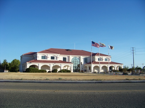
City of Victorville - City Hall 14343 Civic Drive, PO box 5001 - Victorville, CA 92393-5001 - Tel: (760) 955-5000
MARYAM FARZAD, Lic. #: 01417813
DYNASTY REAL ESTATE
ph: 949-495-5335
fax: 949-868-8527
Maryam